What the Oslofjord Actually Is
The shape of it
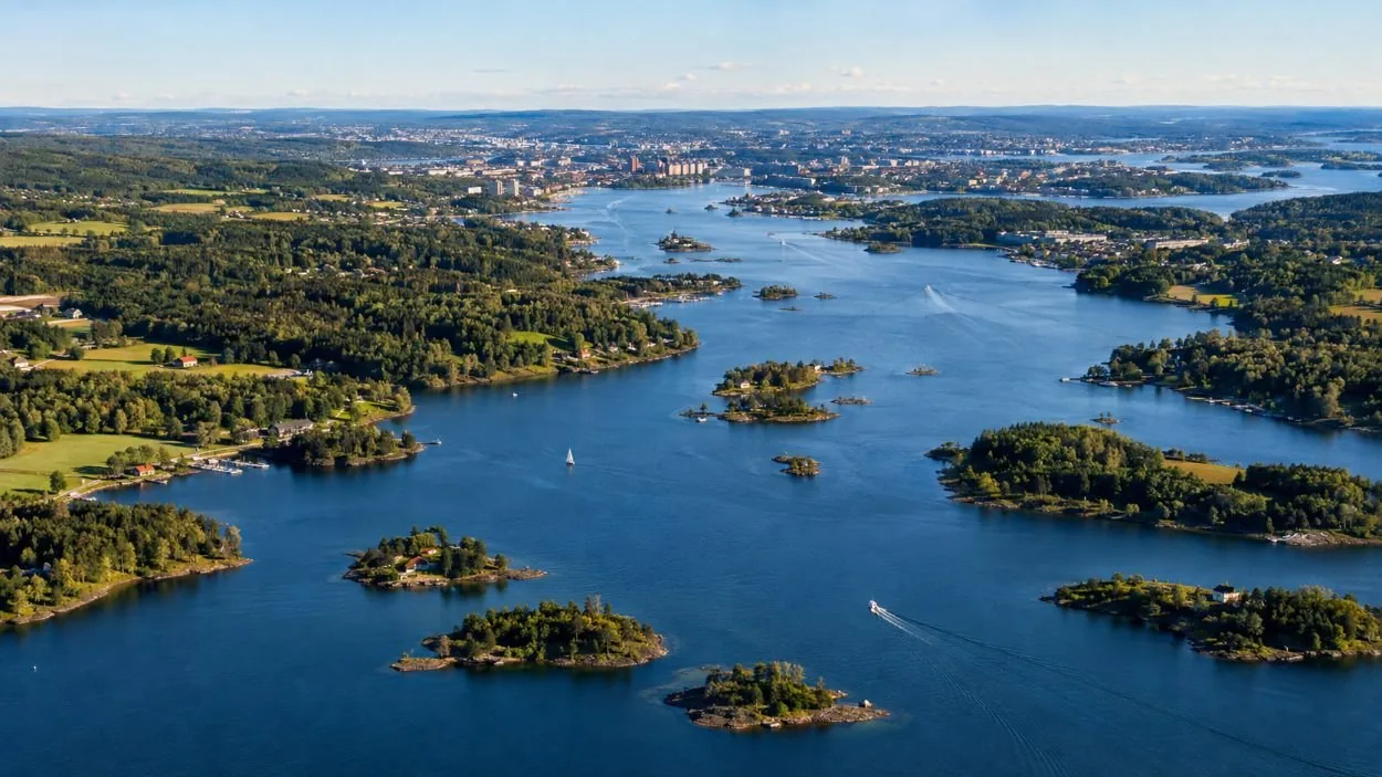
Think of a long arm of sea reaching north from the Skagerrak, pinching hard at Drøbak, then opening again into the deep inner basins with the capital sitting at the top. Everything a first-time visitor pictures — the low islands with painted cabins, the wooded peninsula, the fortress on its headland — is in that last stretch above the pinch. That is where the boats work. The route, landmark by landmark.
Why the sill decides everything
Water behind a shallow threshold does not exchange freely with the sea outside it. The deep basins above Drøbak fill and sit, and they only renew when conditions outside push heavier water over the lip. NIVA has documented that renewal cycle in Bunnefjorden, the innermost basin, and Havforskningsinstituttet reports that in several basins the oxygen in the bottom water drops so low that everything living in it dies. A geological detail about a nineteen-metre threshold turns out to be the story of the fjord’s health. The honest state of the water.
Fjord, but not the one on the poster
The Oslofjord sits in the Oslo Rift, a fault depression of Permian age that glaciers later reworked rather than gouged from nothing. Britannica describes it as occupying a glacier-formed depression, or graben, partially filled and partially reexcavated. Store norske leksikon files it as a terskelfjord — a sill fjord. It is a real fjord by that definition and it is not a vertical-walled gorge, and both halves of that sentence matter. The nuance, properly.
Geirangerfjord and Nærøyfjord, the two everybody has actually seen a photograph of, are 300 to 450 km away across the country. You cannot see them from a boat that leaves the City Hall quays, and no cruise in this catalogue pretends to. The expectation gap, in full.
The version with somebody to ask
Two hours on a hybrid-electric boat from Rådhusbrygge 2, and the only live-guided city cruise in this catalogue, in English only, 4.7 from about 2,079 reviews. Three open decks and two heated saloons, so you can stand outside until the wind wins and then sit down.
Frequently asked questions
How long is the Oslofjord?
About 120 km, from Færder in the south to the innermost arm at Oslo. The inner fjord reaches about 160 m deep, while the threshold at Drøbak is only about 19 m. Why that threshold makes it a fjord.
How much of the Oslofjord does a cruise actually cover?
The top few kilometres. A ninety-minute or two-hour boat from central Oslo works the inner harbour — Akershus, Bjørvika, the Bygdøy shore, Dyna lighthouse and the near islands — and turns around. Drøbak and the sill are far south and are not on a city cruise. What you see, in order.
Is the Oslofjord the same as the fjords in the photographs?
No. Geirangerfjord and Nærøyfjord are 300 to 450 km away on the other side of Norway. The Oslofjord is a capital city’s harbour with a fortress, an opera house, a museum peninsula and a scatter of low islands. The comparison, honestly done.